Choosing reliable tools can mean the difference between smooth sailing and constant frustration. Everyone wants features that match their needs and a user experience that actually makes things easier. Sometimes one platform just does not fit every preference or requirement. If you are wondering what other options could offer a better fit or a new perspective, you are not alone. Discover how trying something new could give you fresh advantages and open up new possibilities for your projects.
Table of Contents
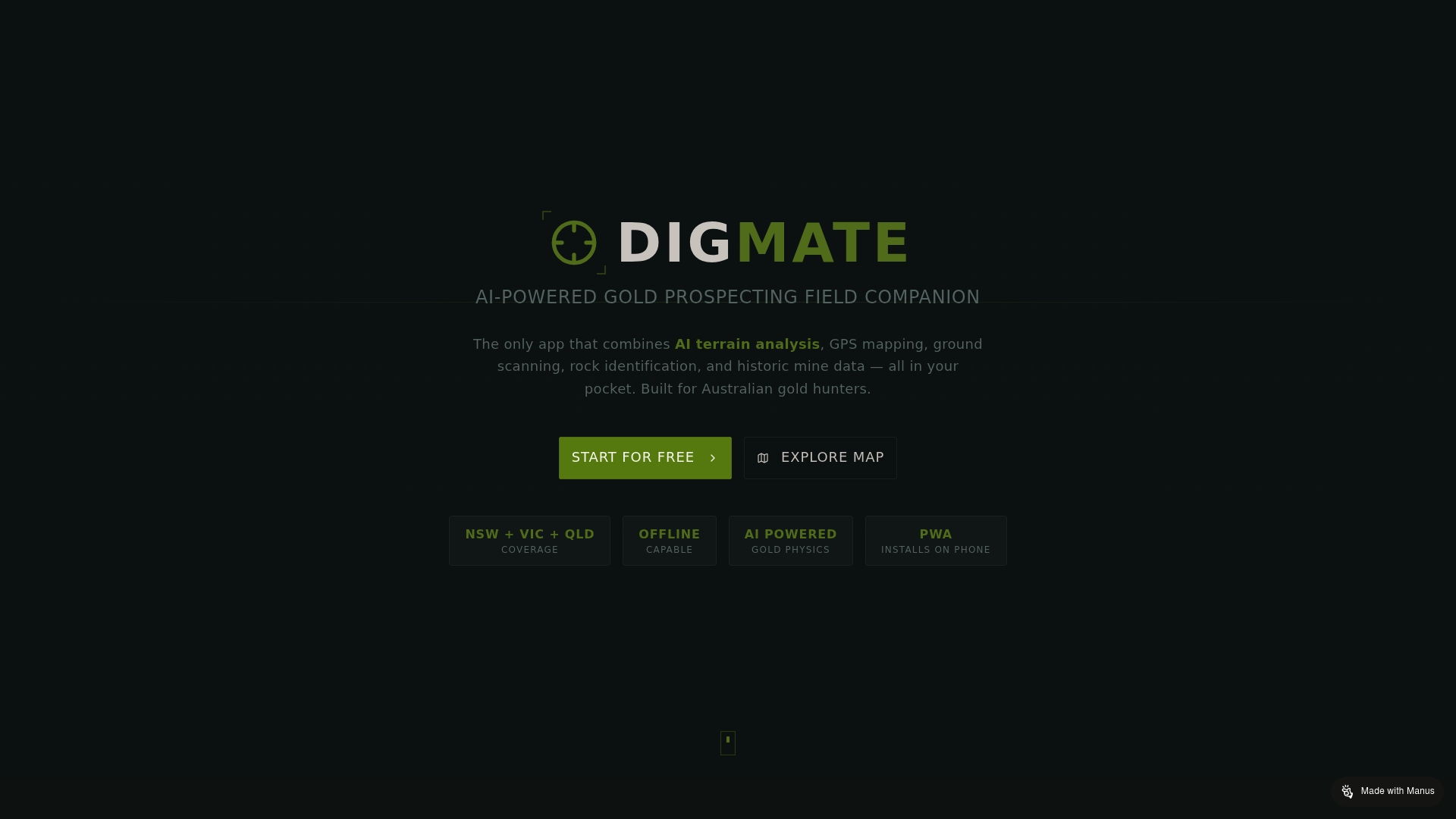
DigMate
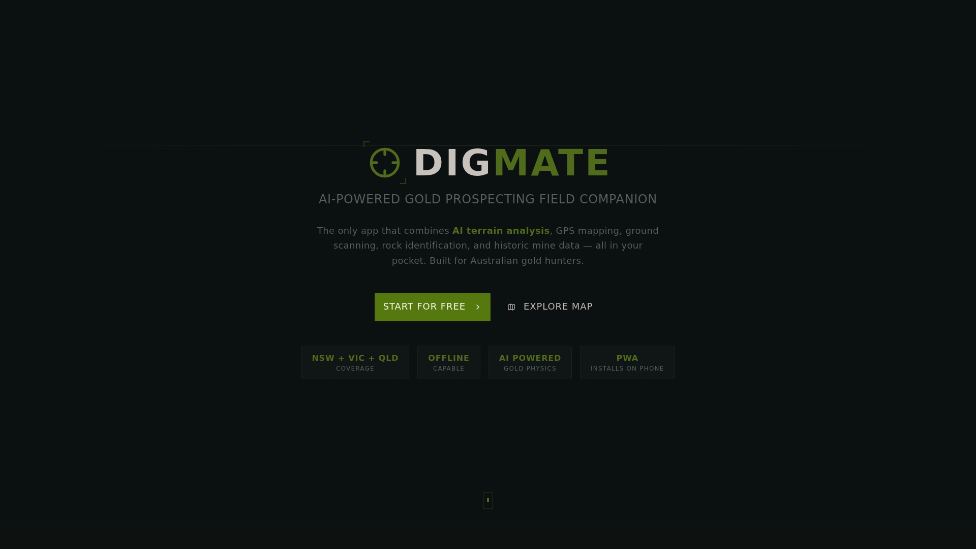
At a Glance
DigMate is the leading AI powered prospecting app built for Australian gold hunters, and it is our top recommendation for New South Wales and Victoria users. It pairs advanced geospatial tools with offline access so you can work deep in the field.
Core Features
DigMate combines AI terrain analysis, GPS mapping with satellite imagery, and ground level tools into a single mobile platform built for prospecting in NSW and VIC.
- AI terrain analysis based on gold physics and convergence zone prediction
- GPS mapping with satellite imagery and LiDAR terrain visualization
- Ground scanning with video mosaic creation and rock identification via AI
- Historic mine data overlays from government databases in NSW, VIC, and QLD
- Trip and sample logging plus offline capability via Progressive Web App (PWA)
Pros
- All-in-one prospecting toolkit: The app brings mapping, scanning, geology, and historic data together so you do not juggle multiple tools in remote areas.
- AI driven predictions: Machine learning pinpoints likely gold convergence zones, saving you time and reducing guesswork when planning routes.
- Offline capability for remote work: The Progressive Web App functionality keeps satellite maps, scans, and logs available without signal.
- Government data integration: Official historic mine overlays give context and validation to targets identified by the app.
- User friendly field features: GPS tracking, waypoints, trip logs, and sample notes make record keeping fast and accurate.
Who It's For
DigMate suits serious and weekend prospectors in Australia who want to apply AI and geospatial data to their gold hunting. It also serves mineral exploration teams and geologists who operate across New South Wales and Victoria and need reliable offline tools.
Unique Value Proposition
DigMate outperforms alternatives because it was designed specifically for Australian goldfields and combines the full prospecting workflow in one app. The integration of AI based gold prediction, official historic mine overlays, and LiDAR visualization means you get data driven targets rather than broad hints.
Smart buyers choose DigMate when they want measurable gains in field efficiency and targeting accuracy. The offline PWA design, video mosaic ground scans, and rock identification reduce wasted travel and let you convert a weekend trip into targeted sampling that produces results.
Real World Use Case
A prospector in western New South Wales uses DigMate to run a terrain analysis before a trip, overlays government historic mine data to shortlist areas, captures video mosaics while scanning gullies, and logs samples with GPS waypoints to plan a focused return trip.
Pricing
- Free plan available for basic mapping and logging.
- Premium at $9.99 per month for advanced features and AI predictions.
- Mini plan at $10 per month for lighter users.
- Pro at $19.99 per month for full professional access.
- Lifetime access at $50 one time for permanent premium features.
Website
Website: https://digmateapp.com
Detector Maps
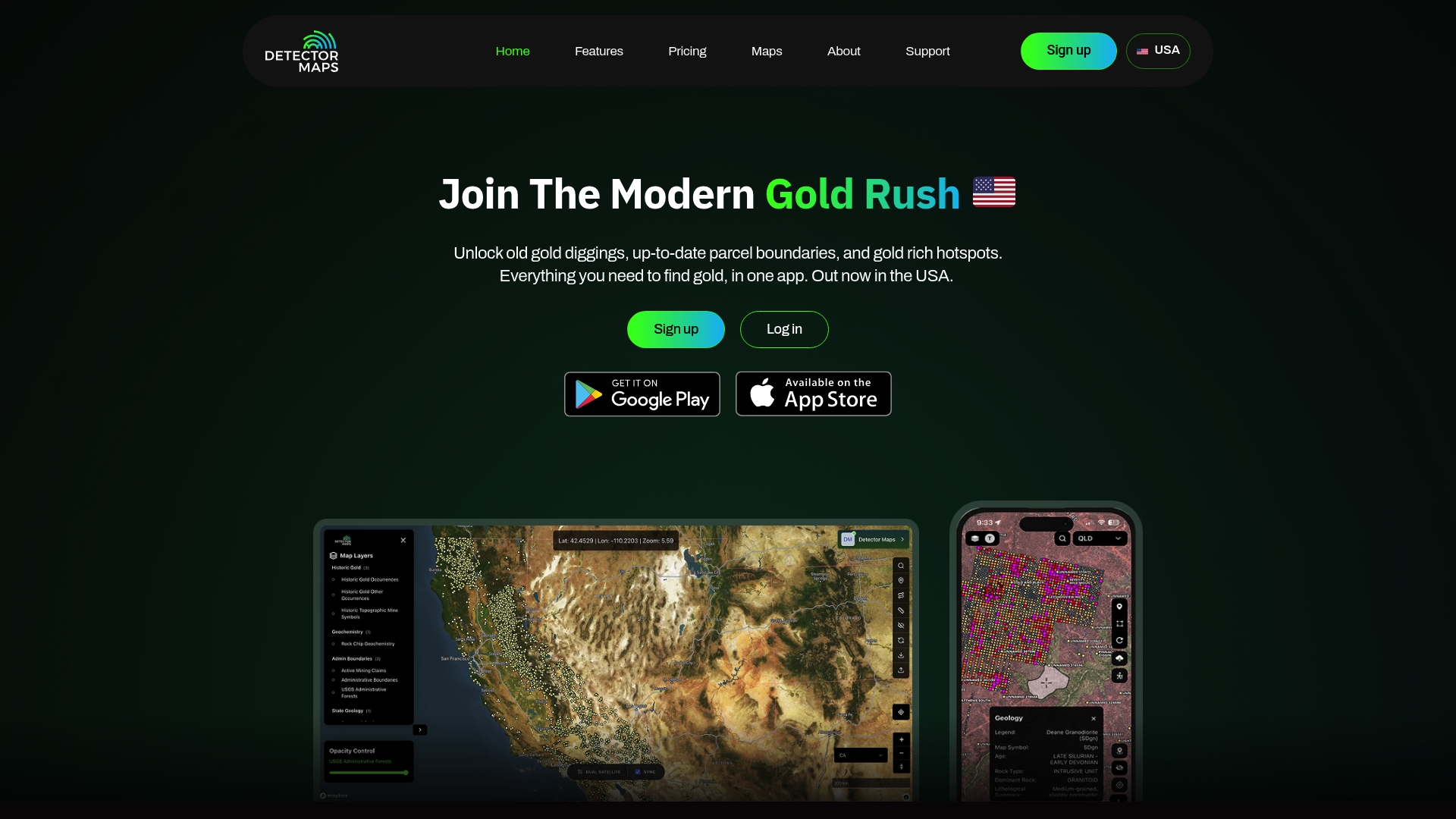
At a Glance
Detector Maps bundles geospatial data, historic gold finds, active claims, and land ownership details into a single mobile and desktop app. This makes it a practical choice for prospectors working inside supported United States regions while offering solid offline mapping and device synchronization.
Core Features
The app provides Gold & Historic Data Layers, Breadcrumb Tracking, and Full Offline Maps so you can mark routes and access maps without signal. It also offers Easy Device Sync and property access details to help you confirm legal prospecting boundaries before you dig.
Pros
-
Comprehensive geospatial layers provide historic sites, gold finds, and land boundaries in one view, which saves time when targeting promising ground.
-
Offline map functionality lets you download areas and navigate remote creeks and gullies without mobile reception, keeping your trip productive.
-
Device synchronization keeps markers, tracks, and downloaded maps aligned between phone and desktop so your planning and fieldwork match.
-
Property ownership details reduce legal risk by showing private parcels and active claims so you can avoid trespass or disputed ground.
-
Detailed data points and geochemistry samples support informed decisions when you prioritize ground for detecting or sampling.
Cons
-
The product is limited to supported states and regions primarily within the United States which reduces direct usefulness for prospectors in New South Wales and Victoria.
-
Access to the full feature set requires a subscription which adds recurring costs compared to one time tools or free public maps.
-
New users report a learning curve when interpreting layered geospatial data and claim boundaries before field application.
Who It's For
Detector Maps fits Gold Prospectors, Mining Enthusiasts, Geologists, and Land Developers who need detailed geospatial data for gold rich regions in the United States. For Australian prospectors the tool is best suited as a reference or comparison rather than a local operational app.
Unique Value Proposition
Built by prospectors for prospectors, Detector Maps pairs field oriented features like full offline maps and breadcrumb tracking with legal access information. That combination helps you plan safer, more focused trips and reduces wasted time on private or claimed ground.
Real World Use Case
A prospector analyzes historic gold sites and active claims on the map, then downloads offline areas for a weekend trip. They follow breadcrumb tracks in the field and avoid private property using ownership layers, improving the odds of a productive outing.
Pricing
Monthly subscription costs 9.99 dollars and the yearly plan is 99 dollars which reduces the monthly equivalent. The subscription model unlocks advanced layers and synchronization features.
Website: https://detectormaps.com
Gold Prospectors Association of America (GPAA)
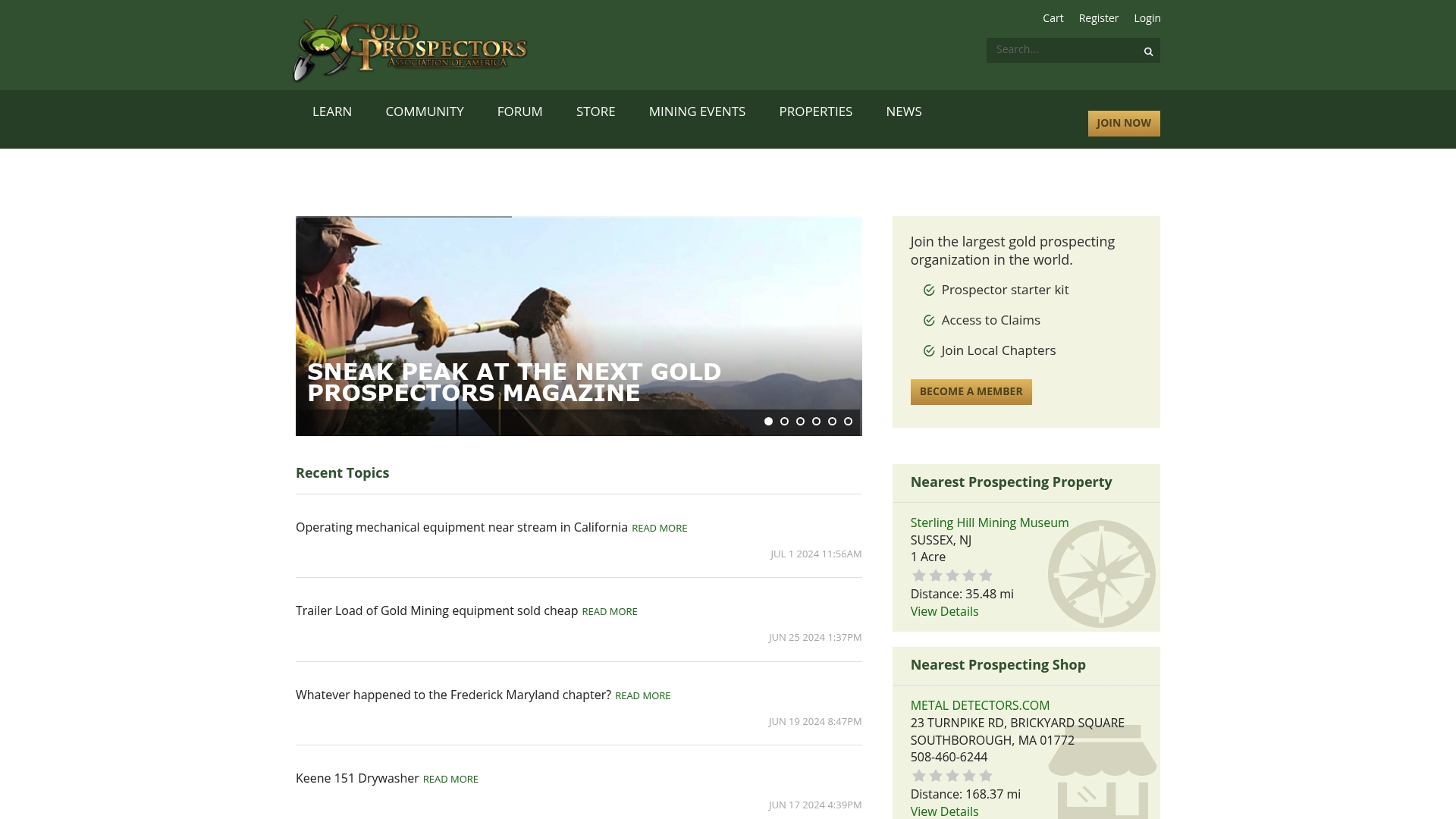
At a Glance
The Gold Prospectors Association of America provides an organized community and practical resources for people who enjoy gold prospecting. Its strength lies in claim access and a strong publication and events program that supports learning and field activity.
Takeaway: Good choice for prospectors seeking community and claim access, especially if you plan activity in the United States.
Core Features
GPAA bundles community access, educational materials, and organized events to support prospecting efforts. Members gain entry to claims and properties, publications, chapter networks, and a prospecting directory for gear and services.
Key offerings:
- Access to claims and properties for prospecting
- Prospecting shop directory and local chapter support
- Membership options with starter kits and publications
Takeaway: The platform combines social support with field access and printed resources.
Pros
- Large Community: A wide membership base offers local chapters and peer support for learning techniques and finding partners in the field.
- Exclusive Claim Access: Members receive entry to claims and prospecting locations that are not publicly available to nonmembers.
- Educational Resources: Regular publications like magazines and gazettes help you sharpen skills and stay informed about prospecting methods.
- Membership Variety: Multiple membership levels and starter kit options make it simple to join at different commitment levels.
- Active Media Presence: YouTube and social media activity provide practical videos and event updates to supplement printed materials.
Takeaway: The organization excels at combining community, access, and learning.
Cons
- Membership required for many resources and claim access, which adds a recurring commitment.
- Some features and claims are location specific and may carry extra fees for certain properties or events.
- Starter kit contents are not detailed clearly, leaving uncertainty about the exact tools provided to new members.
Takeaway: Budget and location constraints matter. Confirm what you get before joining.
Who It's For
GPAA suits hobbyists, prospecting clubs, and professionals who value organized claim access and peer networks. It fits anyone who learns from magazines and events and who plans to prospect where GPAA claims are available in the United States and beyond.
Takeaway: Join if you want community backed claim access and ongoing education.
Unique Value Proposition
GPAA combines claim access with community chapters and printed education to create a full prospecting ecosystem. That mix helps members find ground, learn methods, and meet other prospectors for shared outings.
Takeaway: Community plus claims is the core appeal.
Real World Use Case
A hobbyist joins GPAA to access a local claim, attends a weekend panning event, and reads Gold Prospectors Magazine to refine technique. The member then coordinates with a chapter for a group prospecting trip.
Takeaway: Membership turns solo interest into guided field activity.
Pricing
Pricing is not explicitly specified in available materials. Membership and claim fees are provided on inquiry or during registration, so contact GPAA for current rates and membership tiers.
Takeaway: Request membership details before committing.
Website: https://goldprospectors.org
OnX Maps
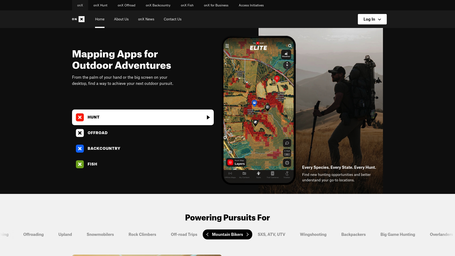
At a Glance
OnX Maps is a purpose built outdoor mapping suite that gives hunters, anglers, and offroad users detailed terrain context and property data. Its strength is reliable offline maps and activity specific toolsets that help you plan trips across large, remote areas.
Core Features
OnX Maps bundles dedicated apps for Hunt, Offroad, Backcountry, and Fish with consistent map tools across platforms. The product offers offline maps and GPS, detailed land ownership maps, trail and route data, weather overlays, and trail camera integration for extended trip planning.
Pros
- Comprehensive land and trail data: The maps include property boundaries and public access details that speed scouting and legal planning for hunts or rides.
- Offline capability: Offline maps and GPS tools keep navigation working when you have no cellular service in remote country.
- Activity specific tools: Separate Hunt, Offroad, Backcountry, and Fish apps provide features tailored to each pursuit so you do not clutter your workflow.
- Multi platform support: The apps sync waypoints and map shares between mobile and desktop so planning at home and navigation in the field stay aligned.
- Research and camera integration: Trail camera links and research layers let you combine remote scouting data with on map waypoints for better field decisions.
Cons
- Subscription costs may be high for casual users who only need occasional maps and basic GPS features.
- The interface contains many specialized controls which create a learning curve for new users unfamiliar with advanced mapping tools.
- The feature set is heavily focused on outdoor pursuits and lacks urban navigation features that regular driving or city mapping requires.
Who It's For
OnX Maps fits outdoor enthusiasts who require accurate property and trail data while operating in remote parts of the country. Hunters, fishermen, backcountry skiers, and offroad riders who value offline access and legal boundary information will get the most from the app.
Unique Value Proposition
OnX Maps stands out by combining land ownership information with activity specific map layers and offline support. That composition lets you scout private and public ground, mark access points, and navigate without cell coverage, all in one synced ecosystem.
Real World Use Case
A hunter uses OnX Hunt to scout a property, mark seasonal waypoints, and share them with a team before a multi day trip. Offline maps and weather overlays keep the party safe and informed when the hunt moves into remote country.
Pricing
Premium plans start at $34.99 per year for a single state and scale up to an Elite Yearly plan at $99.99 per year that covers nationwide data. The tiered pricing lets you choose single state coverage or full national access depending on your needs.
Website: https://onxmaps.com
Gold Prospecting Tools Comparison
This table summarizes the key features, pros, cons, usability, and pricing of leading tools in the gold prospecting sector, helping users choose the best fit for their needs.
| Tool Name | Core Features | Pros | Cons | Pricing |
|---|---|---|---|---|
| DigMate | AI terrain analysis, GPS mapping, historic data overlays | Offline functionality, integrated toolkit, AI-driven predictions | Limited to Australian regions | Free, Premium $9.99/month, Pro $19.99/month, Lifetime $50 |
| Detector Maps | Geospatial data, offline maps, device synchronization | Comprehensive layers, legal boundary info, offline maps | Primarily for United States regions, subscription cost | Monthly $9.99, yearly $99 |
| GPAA | Claim access, educational resources, community chapters | Large network, exclusive claims, varied membership options | Membership required, location-specific claims | Pricing on inquiry |
| OnX Maps | Offline maps, property data, activity-specific apps | Detailed trail data, offline access, activity specific tools | High subscription cost, specialized interface | Premium $34.99/year, Elite $99.99/year |
Discover Smarter Prospecting with Digmate App
If you are looking for a powerful alternative to DetectorMaps.com that focuses on accurate mineral prospecting in New South Wales and Victoria Australia Digmate App offers a transformative AI powered solution. The challenge many prospectors face is navigating vast terrains and uncertain data without reliable offline tools or precise AI driven predictions Digmate solves this by combining geospatial data historic mine overlays and ground scanning features within a seamless mobile platform designed specifically for Australian goldfields.
Key benefits include:
- AI terrain analysis pinpointing gold convergence zones
- Offline GPS mapping with satellite imagery for remote locations
- Video mosaic ground scanning and AI powered rock identification
Ready to upgrade your prospecting efficiency and target with confidence Explore how Digmate App can turn your prospecting trips into successful missions. Visit Digmate App today to start your free plan or unlock premium features tailored for serious prospectors.
Frequently Asked Questions
What are the top alternatives to Detector Maps in 2026?
DigMate, Gold Prospectors Association of America, and OnX Maps are among the top alternatives. Evaluate these options based on your specific prospecting needs and tools.
How do I choose the right prospecting app as an alternative to Detector Maps?
Consider your needs for offline capabilities, geospatial data access, and additional features like trip logging or community support. Make a list of essential features, then compare alternatives against this list to find the best fit.
Are there any free alternatives to Detector Maps available?
Yes, some alternatives offer free plans or trials. Explore options like DigMate for basic features without a subscription fee to start your prospecting journey.
How can I maximize the use of an alternative prospecting app?
Familiarize yourself with all the features, such as mapping, logging, and analysis tools, to enhance your fieldwork efficiency. Set a goal, like reducing your time spent on planning routes by 30%, by utilizing features strategically on your next outing.
What kind of support or community resources should I look for in an alternative app?
Look for apps that provide community forums, educational materials, or local chapter support to connect with other prospectors. Engaging with a community can help improve your skills and provide valuable insights from experienced users.
How do I ensure the data in these alternative apps is accurate and up-to-date?
Check if the app integrates official data sources or regularly updates its database. Opt for alternatives that highlight their data accuracy practices to enhance your prospecting decisions.