TL;DR:
- Successful gold prospecting relies heavily on proper preparation, tools, and understanding geological patterns.
- Modern technology, such as AI maps and ground scans, enhances targeting and increases discovery chances.
- Verifying finds with simple tests and applying judgment are key to avoiding costly mistakes.
Even the most promising riverbeds in Victoria and New South Wales can leave you walking away empty-handed without the right approach. Alluvial gold sits hidden beneath gravel, tucked into creek bends, and buried under flood deposits that look identical to barren ground. The difference between a successful outing and a wasted weekend often comes down to preparation, the right tools, and knowing how to read the data before you ever set foot on a site. This guide walks you through everything, from understanding what alluvial gold actually is, to using modern technology and ground scanning methods that give you a real edge in the field.
Table of Contents
- Understanding alluvial gold and goldfields
- Essential tools and technology for gold detection
- How to use data and ground scanning for better results
- Verifying your finds and common mistakes to avoid
- What most guides miss about modern gold detection
- Take your prospecting further with DigMate
- Frequently asked questions
Key Takeaways
| Point | Details |
|---|---|
| Know your locations | The best chance for alluvial gold comes from researching proven goldfields and reading the landscape. |
| Choose the right tools | Combining classic gear with modern apps and detectors boosts your detection odds. |
| Use smart technology | Leverage mapping and data analysis to focus search efforts efficiently. |
| Verify your finds | Simple field tests help confirm gold and avoid costly mistakes. |
| Balance tools and intuition | Rely on a mix of technology and hands-on experience for consistent results. |
Understanding alluvial gold and goldfields
Before you can find something, you need to understand what you are looking for and why it ends up where it does. Alluvial gold is gold eroded from rock, deposited by water in riverbeds, creeks, and floodplains over thousands of years. It starts as gold locked inside hard rock formations called reefs. Over time, weathering breaks that rock apart, and water carries the freed gold particles downstream. Because gold is dense, it drops out of moving water quickly and collects in predictable spots.
Victoria and New South Wales are two of the richest alluvial gold regions on the planet. Victoria's goldfields, shaped by the rushes of the 1850s, still hold recoverable gold in rivers like the Loddon, Campaspe, and Ovens. New South Wales offers productive ground across the New England region, the Snowy Mountains foothills, and the central west. Both states have well-documented geological histories that give modern prospectors a solid foundation to work from.
Understanding the difference between alluvial and hard rock gold shapes your entire strategy:
| Feature | Alluvial gold | Hard rock gold |
|---|---|---|
| Location | Riverbeds, creeks, floodplains | Embedded in quartz reefs underground |
| Particle size | Flakes, nuggets, fine dust | Locked in host rock |
| Equipment needed | Pan, sluice, detector | Drill, explosives, crusher |
| Accessibility | High for hobbyists | Low, usually requires permits |
| Predictability | Follows water flow patterns | Follows geological fault lines |
Knowing where alluvial gold concentrates is half the battle. Focus your searches on these locations:
- Inside bends of rivers and creeks where water slows
- Gravel bars and bedrock crevices that trap heavy material
- Flood zones where high water dropped its load
- Ancient riverbeds on elevated ground called high benches
- Areas just downstream from known reef outcrops
If you want to sharpen your understanding of alluvial gold detection methods before heading out, reviewing the geology of your target area pays off. Regions like prospecting near Bright in the Victorian Alps are classic examples of where ancient waterways left behind significant alluvial deposits worth exploring.
Essential tools and technology for gold detection
Once you understand what you are searching for, the next step is putting together a kit that actually works. The right gear does not have to be expensive, but it does need to match the terrain and the type of gold you expect to find.
Here is a shortlist of must-have tools for alluvial gold detection:
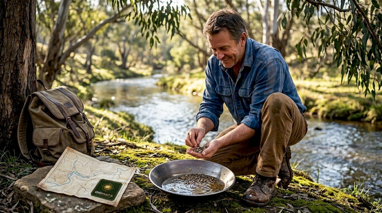
- Gold pan: The starting point for every prospector. Lightweight, cheap, and effective for sampling.
- Sluice box: Processes larger volumes of gravel to concentrate heavy minerals including gold.
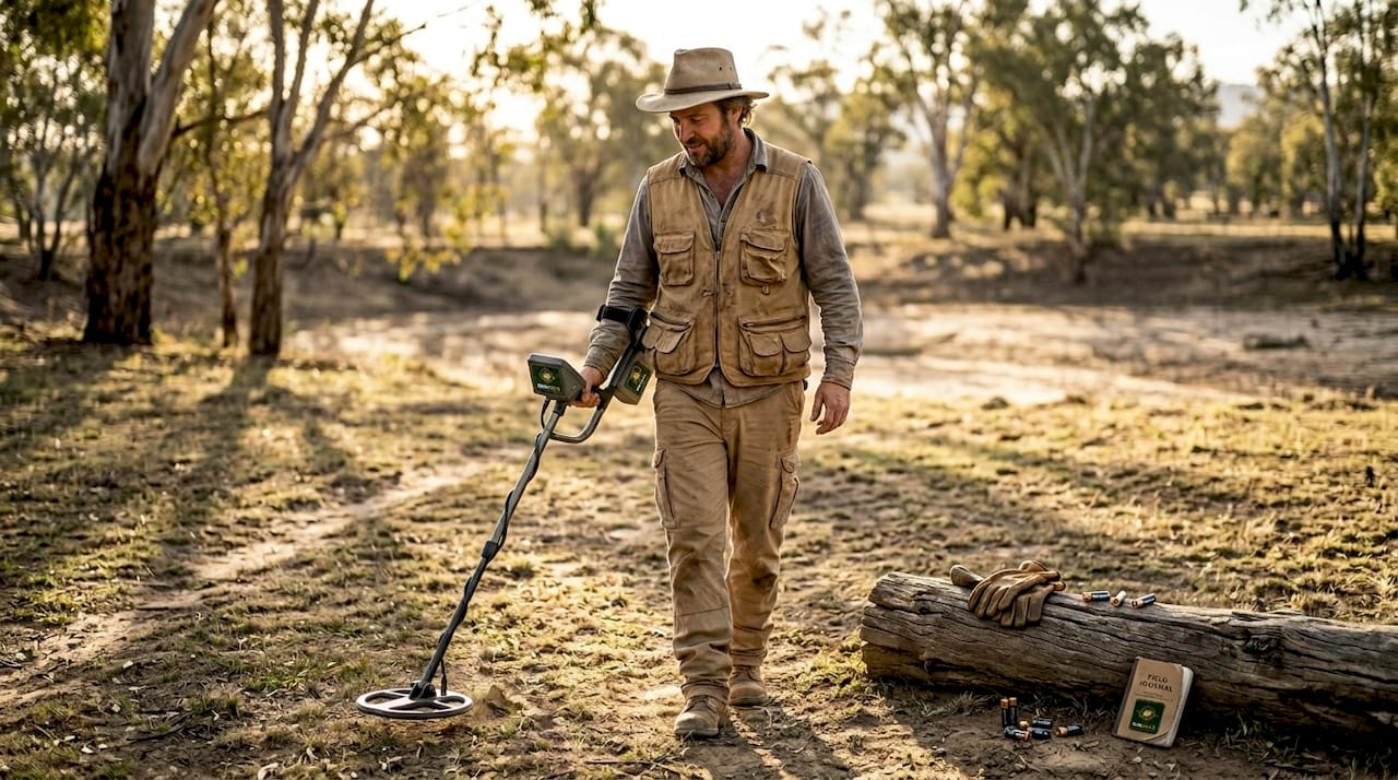
- Metal detector: Covers ground fast and picks up nuggets that panning might miss.
- Prospecting app: Provides AI-driven maps, geological data, and location insights in real time.
- Classifier screens: Sorts material by size before panning to improve efficiency.
Metal detectors remain a favorite for Australian hobbyists because they cover large areas quickly and can detect nuggets buried several inches below the surface. But technology has moved well beyond the basic beep-and-dig model.
| Tool type | Traditional approach | Smart/modern approach |
|---|---|---|
| Mapping | Paper topographic maps | AI-powered digital goldfield maps |
| Detection | Standard metal detector | Multi-frequency ground balance detectors |
| Sampling | Basic gold pan | Automated sluice with classifier |
| Research | Word of mouth | Geospatial data layers and historical records |
Setting up your equipment correctly before you arrive saves hours of frustration in the field. Follow these steps:
- Charge all batteries and download offline maps the night before your outing.
- Calibrate your metal detector to the specific soil type of your target region.
- Set up your sluice box with the correct gradient, usually 5 to 7 degrees, for optimal water flow.
- Run a test pan at the start of each new site to check for background mineral content.
- Mark your starting GPS point so you can track your coverage accurately.
Pro Tip: Always pack a spare set of batteries and a printed backup map. Remote goldfield terrain in Victoria and New South Wales can drain devices faster than expected, and mobile coverage is unreliable in many productive areas.
Matching your detection methods to the ground conditions makes a measurable difference in your recovery rate. Sandy creek beds need different settings than heavily mineralized ironstone ground.
How to use data and ground scanning for better results
With the right equipment on hand, the next step is using technology and data to search smarter instead of harder. Random searching burns time. Targeted searching, guided by real data, puts you in productive ground faster.
Modern prospectors use mapping technology and AI tools to predict gold deposits by overlaying geological surveys, historical find records, and satellite imagery. This is not guesswork. It is pattern recognition applied to decades of field data.
Here is how to use digital data effectively before and during your outing:
- Open your prospecting app and load the geological layer for your target region.
- Identify areas with documented alluvial gold history and cross-reference with topographic features like creek bends and elevated terraces.
- Look for zones where multiple data layers overlap, such as old workings, water flow patterns, and soil type changes.
- Mark your high-probability zones and plan your search order before leaving home.
- In the field, use ground scan mode to sweep target areas systematically, noting signal strength and depth readings.
- Log your own finds and non-finds to build a personal data set that improves future searches.
Not every promising-looking spot delivers. Flood zones are productive but unpredictable. High benches, which are old riverbeds now sitting above the current waterline, often hold coarser gold that has been untouched for generations. False leads, like iron-stained gravel that mimics gold-bearing material, are common and waste time if you are not reading the ground carefully.
Pro Tip: Cross-check official geological survey data with your own on-the-ground observations. Maps show probability, not certainty. If the data points to a location but the physical ground does not match the expected profile, trust your eyes and move on.
For anyone serious about finding better gold prospecting locations, combining digital pre-trip research with disciplined field scanning is the single biggest improvement most hobbyists can make to their results.
Verifying your finds and common mistakes to avoid
Now that you have scanned and collected material, knowing how to confirm what you have found, and when to cut your losses, is just as important as the search itself.
Gold has specific physical properties that make it identifiable with simple tests. You do not need a laboratory. These three checks work in the field:
- Streak test: Drag the material across unglazed ceramic. Real gold leaves a yellow streak. Pyrite, called fool's gold, leaves a greenish-black streak.
- Magnet test: Gold is not magnetic. If your find sticks to a magnet, it is not gold.
- Specific gravity test: Gold is extremely dense, about 19 times the weight of water. A small piece of real gold feels surprisingly heavy for its size compared to lookalike minerals.
False positives can be common; always verify with a streak test or specific gravity before getting excited about a find.
Common mistakes that cost prospectors time and results include:
- Trusting every shiny flake without running a basic verification test
- Ignoring local regulations and prospecting in restricted or private land without permission
- Skipping safety checks before entering remote or flood-prone areas
- Staying too long at an unproductive site out of stubbornness rather than moving to better ground
- Failing to record GPS coordinates of finds, which makes it impossible to return or analyze patterns
Safety warning: Never handle unknown materials without gloves, and always research site-specific hazards before entering old mining areas. Abandoned shafts, unstable ground, and chemical residues from historical processing are real risks in Victorian and New South Wales goldfields.
If you are working an area near prospecting near Ballarat or similar heavily worked historical goldfields, old workings can create ground stability issues that are not always visible from the surface. Knowing when to walk away from a site is a skill that separates experienced prospectors from beginners. If three systematic sweeps of a zone produce nothing, move to your next marked location.
What most guides miss about modern gold detection
Most articles focus on gear lists and technique, but they miss the most important variable: judgment. Technology is a tool, not a replacement for learning how to read landscape and understand why gold ends up where it does.
We have seen prospectors show up with top-of-the-line detectors and AI-powered apps and still come home empty-handed because they chased every signal without stepping back to think. Conversely, experienced hands with basic equipment and deep field knowledge consistently outperform gadget-heavy beginners.
The real edge comes from balancing traditional and new methods. Use data to get into the right area. Use your eyes and experience to work that area intelligently. Patience matters more than processing power. The prospectors who build a mental map of how water moves, where heavy material settles, and how geology shapes gold distribution are the ones who find gold consistently. Technology accelerates that process. It does not replace it.
Take your prospecting further with DigMate
A balanced approach to gold detection gets you further than any single tool. The DigMate app brings together AI-driven maps, historical goldfield data, and ground scan features in one platform built specifically for prospectors in Victoria and New South Wales.
Whether you are planning your first outing or refining a location you have worked before, DigMate gives you the data layer that most hobbyists are missing. Access the free gold prospecting map to explore high-probability zones before you leave home. Then use DigMate features like AI-informed location scoring and geospatial overlays to focus your time on ground that is actually worth working. Smarter preparation means more gold and fewer wasted days.
Frequently asked questions
What is the easiest way to detect alluvial gold for beginners?
The simplest way is to start with a gold pan in known gold-bearing streams and check for small flakes in crevices and gravel beds. Alluvial gold deposits in documented areas give beginners the best chance of early success.
Do I need a license to prospect for alluvial gold in Victoria or New South Wales?
Yes, you must hold a miner's right or similar prospecting license in both Victoria and New South Wales before digging or detecting. Check with the relevant state authority before heading out to avoid fines.
What's the top mistake prospectors make when searching for alluvial gold?
Many focus too much on unproven spots and overlook prime locations with geological markers and existing discoveries. AI mapping tools can quickly show you where documented finds cluster so you start in productive ground.
What technology offers the best return for hobbyist gold hunters?
Digital gold maps and ground scan apps can quickly highlight high-probability locations to maximize your chances. AI-powered prospecting platforms that combine historical data with real-time geospatial layers give hobbyists a significant advantage over guesswork alone.