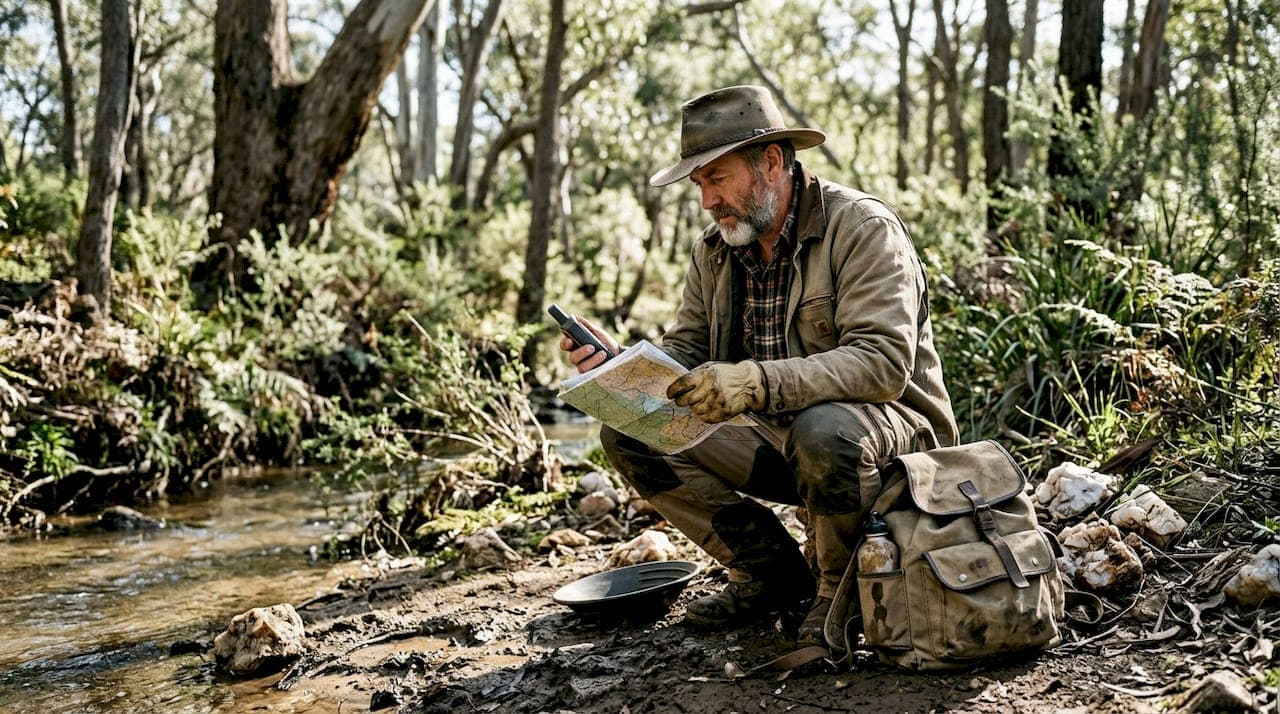
Spending months scouting the wrong ground is one of the most expensive mistakes a prospector or exploration company can make. Between fuel, equipment, permits, and lost time, a poorly chosen site can drain resources before a single sample is analyzed. The good news is that the combination of public geoscientific data, remote sensing, and AI-powered prospectivity modeling has fundamentally changed how serious operators in New South Wales and Victoria approach site selection. This guide walks you through every stage of that process, from understanding what makes a site worth targeting to navigating the permits that keep you compliant.
Table of Contents
- Understanding the essentials: What makes a site promising?
- Preparation: Gathering data and understanding the landscape
- Step-by-step site selection process
- Navigating regulations and responsibilities
- Top regions with the greatest potential
- Take your prospecting further with Digmate App
- Frequently asked questions
Key Takeaways
| Point | Details |
|---|---|
| Prioritize data-driven tools | Leverage both traditional and AI-powered datasets for better site selection outcomes. |
| Understand regulations early | Securing permits and landholder consent before fieldwork prevents costly delays. |
| Target promising regions | Focusing efforts on high-potential areas in NSW and Victoria raises your chances of success. |
| Integrate AI with ground truthing | Combine digital models with real sampling and drilling to validate targets and reduce risk. |
Understanding the essentials: What makes a site promising?
Not every patch of ground with a creek and a bit of quartz is worth your time. A genuinely promising prospecting site checks multiple boxes across geology, geochemistry, geophysics, and historical records. Site selection in NSW and Victoria relies on geological mapping, geochemical sampling, and geophysical surveys working together to build a coherent picture of subsurface potential.
Here is a core evaluation checklist to run through before committing to any site:
| Criterion | What to assess | Why it matters |
|---|---|---|
| Geology | Rock type, structural controls, alteration zones | Determines host rock favorability |
| Geochemistry | Soil, stream sediment, rock chip anomalies | Flags surface expressions of mineralization |
| Geophysics | Magnetic, gravity, and radiometric data | Reveals buried structures and contacts |
| Historic data | Past drilling, workings, and assay records | Reduces risk and guides targeting |
| Access and tenure | Road access, land status, existing titles | Determines feasibility and legal entry |
Greenfields sites, meaning areas with no prior exploration, and undercover targets buried beneath sediment or regolith carry higher reward potential but also higher risk. They demand more rigorous desktop analysis before boots hit the ground.
Common anomalies worth flagging during your initial screening include:
- Magnetic lows associated with magnetite destruction in alteration zones
- Gravity highs linked to dense sulfide or iron oxide accumulations
- Radiometric potassium highs indicating potassic alteration
- Stream sediment gold or pathfinder element anomalies
- Structural intersections visible in regional aeromagnetic data
- Soil geochemistry anomalies above background threshold values
Pro Tip: Run a preliminary desktop study using MinView in NSW before spending a single dollar on fieldwork. It gives you access to drillhole data, geophysical grids, and geological maps that can either confirm or kill a target in hours.
For Victoria, GeoVic provides equivalent state-level data and is equally powerful for early-stage screening.
Preparation: Gathering data and understanding the landscape
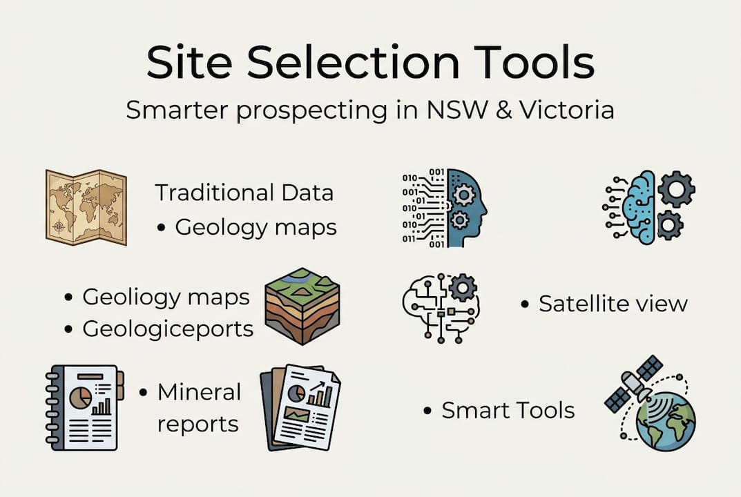
Once you know what to look for, you need the right data sources and preparation strategies. The quality of your site selection is directly proportional to the quality of data you feed into your analysis.
Government data portals like MinView and GeoVic are the foundation of any serious prospecting research program. Both platforms are free to access and contain decades of compiled geological, geochemical, and geophysical datasets. Beyond state portals, Geoscience Australia hosts deep geoscientific datasets covering national-scale geophysics and precompetitive data packages.

Here is how traditional and AI-supported data sources compare:
| Data source type | Traditional approach | AI-supported approach |
|---|---|---|
| Geological maps | Manual interpretation | Automated feature extraction |
| Geochemical data | Spreadsheet analysis | Anomaly detection algorithms |
| Geophysical grids | Expert visual review | Pattern recognition modeling |
| Satellite imagery | Manual photo interpretation | Change detection and spectral analysis |
| Historic records | Archive searching | Natural language processing retrieval |
Follow these steps to build a solid data package for any target area:
- Download all available geological maps and drillhole data from MinView or GeoVic for your target region.
- Pull geochemical survey data and plot anomalies against geological contacts and structures.
- Access aeromagnetic and gravity grids to identify structural corridors and lithological contacts.
- Overlay satellite imagery to assess regolith cover, drainage patterns, and vegetation stress indicators.
- Compile historic mine records and assay data to understand what has already been found and where.
- Run all datasets through an AI prospectivity model to generate ranked target lists.
CSIRO's LandScape+ and Datarock AI are cutting-edge tools for prospectivity modeling in Australia. LandScape+ operates at 30-meter resolution and integrates multiple data layers simultaneously. Datarock's AI platform has demonstrated up to a 90% reduction in exploration costs by eliminating low-priority targets early in the workflow. That kind of efficiency is not a luxury for exploration companies working within tight budgets. It is a competitive necessity.
For using public government data sources effectively, the key is layering datasets rather than analyzing them in isolation. A geochemical anomaly sitting on a structural intersection visible in magnetics, within a known mineralized belt, is a far stronger target than any single dataset would suggest on its own.
Step-by-step site selection process
Tools and data in hand, you are ready for the core site selection workflow. This process moves from broad screening to precise ground validation, and AI can accelerate nearly every stage.
Site selection involves geochemical sampling, geophysical surveys, desktop studies, and drilling for validation. Here is the full workflow:
- Regional screening: Use state portals and national geophysical data to identify prospective geological terranes and structural corridors across NSW or Victoria.
- Desktop analysis: Layer geochemical, geophysical, and geological datasets. Apply AI prospectivity modeling to rank targets objectively and eliminate low-priority areas.
- Remote sensing review: Analyze satellite imagery for regolith cover, drainage anomalies, and alteration signatures. LandScape+ at 30-meter resolution is particularly effective here.
- Permitting and access: Secure all required permits and landholder consents before any ground entry. This step runs parallel to desktop work, not after it.
- Ground truthing: Visit shortlisted targets to verify desktop interpretations. Collect soil, rock chip, and stream sediment samples for laboratory analysis.
- Geophysical surveying: Run ground magnetics, IP (induced polarization), or EM (electromagnetic) surveys over the best targets to define drill targets.
- Drilling and validation: Drill the highest-ranked targets to confirm or reject mineralization at depth.
Pro Tip: Integrate satellite imagery with traditional soil and stream sediment sampling at step five. Vegetation stress patterns visible in multispectral imagery often correlate with subsurface geochemical anomalies, giving you a spatial guide before you even open a sample bag.
The biggest gains from AI come at steps two and three, where the volume of data is highest and human cognitive limits are most likely to cause missed targets. Site selection process tools that combine AI analysis with geospatial mapping can compress weeks of desktop work into hours, letting you focus field time on the targets that genuinely deserve it.
Navigating regulations and responsibilities
Before you break ground, understand the regulations governing your exploration. Regulatory mistakes are costly, and in some cases they can result in criminal penalties or permanent loss of access to a site.
Key permits and consents you need to secure include:
- NSW Fossicking Districts: A free permit is required. You must also obtain landholder consent for private land and resource title holder consent where applicable.
- Victoria Miner's Right: Costs approximately $30 for a ten-year period. Required for all recreational and small-scale prospecting.
- Exploration licenses: Required for systematic exploration programs in both states. These involve more detailed applications and environmental commitments.
- Crown and State Forest access: Specific rules apply. Some areas are closed to fossicking and exploration entirely.
- Environmental management plans: Required for larger programs and any activity involving significant ground disturbance.
Fossicking and exploration require specific permits and consents, and equipment and disturbance limits apply in both states. In NSW, fossicking is generally limited to hand tools and small mechanical devices. In Victoria, Golden Triangle regulations specify what equipment is permitted and where.
Non-compliance with permit conditions, land access rules, or environmental rehabilitation requirements can result in fines, loss of licenses, and permanent exclusion from prospecting areas. Rehabilitation of disturbed ground is not optional. It is a legal obligation in both NSW and Victoria, and failure to comply damages the reputation of the entire prospecting community.
Pro Tip: Engage local landowners early, ideally before you have finalized your target list. A cooperative relationship with a landholder can open access to ground that would otherwise be unavailable, and it makes the permitting process significantly smoother.
Top regions with the greatest potential
With process and regulations handled, let's focus on where the highest-potential discoveries are being made right now. Both NSW and Victoria contain districts that combine proven historical production with significant undiscovered resource potential.
NSW regions like Nundle and Bathurst, and VIC areas including the Golden Triangle, Ballarat, Bendigo, and the Stavely Arc offer major potential for both individual prospectors and exploration companies.
| Region | State | Primary targets | AI and tool use case |
|---|---|---|---|
| Golden Triangle | VIC | Alluvial and reef gold | Magnetic and gravity modeling for reef extensions |
| Ballarat and Bendigo | VIC | Orogenic gold | Structural targeting using aeromagnetics |
| Stavely Arc | VIC | Copper, gold, critical minerals | AI prospectivity for undercover porphyry targets |
| Nundle District | NSW | Alluvial gold, sapphires | Stream sediment anomaly mapping |
| Bathurst Region | NSW | Gold, copper, base metals | Geochemical AI anomaly detection |
| Lachlan Fold Belt | NSW | Gold, copper, critical minerals | Regional prospectivity modeling |
Key reasons these districts remain highly attractive include:
- Estimates suggest up to 75 million ounces of undiscovered gold remain in eastern Australia
- The Stavely Arc has produced significant copper-gold discoveries using modern targeting methods
- Critical minerals demand is driving renewed interest in historically underexplored areas
- Undercover targets in both states remain largely untested by modern geophysical methods
- Nundle and Bathurst regions continue to yield results for both recreational prospectors and junior explorers
The real opportunity in 2026 lies in undercover targets, areas where prospective geology is buried beneath transported cover and has never been directly sampled. Modern AI tools and high-resolution geophysics are the only practical way to see through that cover and identify what lies beneath.
Take your prospecting further with Digmate App
Everything covered in this guide, from desktop data analysis to AI-powered prospectivity modeling, points toward one core truth: the prospectors and companies finding success in NSW and Victoria are the ones using every available tool to make smarter decisions before they leave the office.
Digmate App brings AI-driven mineral detection, geospatial mapping, and real-time data analysis into a single platform built specifically for prospectors and exploration professionals in New South Wales and Victoria. Whether you are targeting alluvial gold in the Golden Triangle, reef extensions near Bathurst, or critical mineral deposits along the Stavely Arc, Digmate gives you the analytical edge to identify high-potential sites faster and with greater confidence. Stop guessing. Start prospecting smarter.
Frequently asked questions
Do I need a permit to prospect in NSW or Victoria?
Yes. NSW requires a free fossicking permit in designated Fossicking Districts, while Victoria requires a Miner's Right costing approximately $30 for a ten-year period. Both states also require landholder consent for private land access.
How does AI improve site selection for prospecting?
AI tools like LandScape+ and Datarock process large geology and geochemistry datasets simultaneously to identify anomalies and rank targets, reducing costs by up to 90% and surfacing sites that traditional manual methods routinely miss.
What information can I access via MinView and GeoVic?
Both portals provide geological maps, drillhole databases, geophysical grids, geochemical survey data, and land tenure information. MinView and GeoVic are free to use and are the starting point for any serious desktop study in their respective states.
Are environmental rehabilitation and land access important?
Both are legal requirements, not optional considerations. Environmental rehab and access permissions must be secured and fulfilled before and after any ground disturbance activity in NSW or Victoria.