Picking the right AI-driven prospecting tool can mean the difference between a productive field season and months of wasted drilling in the wrong location. New South Wales and Victoria sit on some of the richest mineral systems in the world, yet the sheer volume of new platforms hitting the market makes it genuinely hard to know which one delivers real results. This article cuts through the noise by walking you through a practical evaluation framework, two of the most field-proven tools available to Australian prospectors right now, and a direct side-by-side comparison so you can make a faster, smarter decision.
Table of Contents
- How to evaluate AI-driven prospecting tools
- Fleet Space's ExoSphere: Fast-tracking subsurface imaging
- CSIRO's hyperspectral satellite mapping: Seeing minerals from space
- Comparison of leading prospecting platforms
- A fresh perspective: What AI tools get right and what's next for Aussie prospectors
- Accelerate your mineral exploration with DIGMATE
- Frequently asked questions
Key Takeaways
| Point | Details |
|---|---|
| Speed matters | AI-driven tools like ExoSphere dramatically slash survey times from months to days. |
| Regional validation | Field-proven results in NSW and Victoria are critical for selecting a platform. |
| Space-based insights | CSIRO’s satellite mapping unlocks discoveries across vast, unexplored ground. |
| Smart selection | Weigh environmental impact and integration with your team before adoption. |
How to evaluate AI-driven prospecting tools
Let's start by establishing what matters most when assessing prospecting technology. Not every AI platform is built for the realities of Australian fieldwork, and a tool that performs well in a controlled demo can fall apart in the Lachlan Fold Belt or the Victorian goldfields.
Here are the core criteria worth measuring every platform against:
- Speed: How quickly does the tool generate actionable data from raw survey inputs?
- Accuracy: Does it reduce false positives and narrow drill targets to genuinely prospective zones?
- Scalability: Can it handle a single tenement or a regional multi-target program?
- Environmental footprint: Does it comply with Australian land access and environmental obligations?
- Data integration: Can it ingest existing geophysical, geochemical, and historical drill data?
User-friendliness matters more than most teams admit. A platform that requires a dedicated data scientist to operate is a liability in the field. Remote deployment capability is equally important, because a lot of the best ground in NSW and Victoria is not exactly close to a fiber connection.
Evidence of success in Australian conditions is non-negotiable. Mining companies are accelerating AI adoption, led by junior explorers in Australia, which means the case study library is growing fast. Look for platforms with published results from local projects, not just offshore pilots.
Tools that support digital geological mapping give you a significant edge because they connect field observations directly to AI-processed datasets in real time. That feedback loop is where the real efficiency gains show up.
Pro Tip: Before committing to any platform, ask the vendor for two or three validated discovery examples from Australian projects completed in the last three years. If they can't produce them, keep looking.
Fleet Space's ExoSphere: Fast-tracking subsurface imaging
With the criteria in mind, let's review ExoSphere's real-world performance. Fleet Space Technologies developed ExoSphere as a satellite-connected geophysical survey system that uses ambient noise tomography, or ANT, to build detailed 3D images of what's happening underground.
ANT works by analyzing natural seismic vibrations already present in the ground, rather than generating artificial seismic waves. That means no explosives, no heavy equipment, and a dramatically reduced environmental footprint compared to traditional seismic surveys.
Key capabilities of ExoSphere include:
- 3D subsurface imaging down to meaningful exploration depths without ground disturbance
- Satellite-connected sensors that transmit data in near real time from remote locations
- AI-driven processing that turns raw ambient noise data into interpretable geological models
- Rapid deployment across rugged terrain with a small field crew
Legacy Minerals used ExoSphere across tenements in NSW and validated new drill targets faster than any conventional geophysical approach would have allowed. That kind of result is exactly what you want to see before trusting a platform with your exploration budget.
Key stat: ExoSphere cuts imaging time from months or years down to days, with near-zero environmental impact on surveyed land.
The 100x reduction in survey time is not a marketing claim. It reflects the fundamental difference between waiting for a traditional seismic contractor to mobilize, shoot, and process data versus deploying a lightweight sensor network and receiving AI-processed results within days.
For teams working in geophysical sensor applications across diverse NSW and Victorian terrain, ExoSphere's combination of speed, low impact, and satellite connectivity makes it one of the most practical tools available right now.
Pro Tip: ExoSphere works best when you layer its 3D subsurface output on top of existing geochemical and structural data. The combination tightens drill targets considerably and reduces the risk of expensive misses.
CSIRO's hyperspectral satellite mapping: Seeing minerals from space
Now, let's move above the ground for a view of mineral systems visible only from space. CSIRO's Earth Observation Innovation team has developed hyperspectral processing pipelines for two next-generation satellite platforms: PRISMA and EnMAP.
Hyperspectral imaging captures reflected light across hundreds of narrow wavelength bands simultaneously. Where a standard satellite camera sees three color channels, these platforms see up to 285. Each mineral type absorbs and reflects light in a unique spectral signature, so the technology can effectively map mineral classes across entire regions without a single geologist setting foot on the ground.
Standout features of CSIRO's hyperspectral mapping capability:
- Up to 285 spectral bands for fine-scale mineral class discrimination
- 28-day reacquisition cycles enabling continuous regional monitoring as conditions change
- Detection of Al-sheet silicates and other pathfinder minerals associated with large buried deposits
- Greenfield discovery support for areas with little or no previous exploration history
"CSIRO developed hyperspectral processing for PRISMA and EnMAP satellites, offering up to 285 spectral bands and 28-day reacquisition cycles for mineral mapping at regional scale."
The 28-day update cycle is a genuine game-changer for regional programs. You can monitor seasonal surface changes, track alteration patterns, and continuously refine target priority lists without additional field costs.
CSIRO hyperspectral mapping has been credited with enabling past greenfield discoveries in Australia by identifying mineral alteration halos that ground-based surveys simply could not detect at that scale. For prospectors working large tenement packages in NSW or Victoria, this capability offers a cost-effective first-pass tool before committing to expensive ground programs.
Comparison of leading prospecting platforms
To clarify which tool fits which situation, here's a direct comparison of the platforms covered so far.
| Metric | ExoSphere (Fleet Space) | CSIRO Hyperspectral Mapping |
|---|---|---|
| Primary method | Ambient noise tomography | Satellite hyperspectral imaging |
| Survey speed | Days (100x faster than conventional) | 28-day reacquisition cycle |
| Depth capability | Subsurface 3D imaging | Surface and near-surface alteration |
| Environmental impact | Near-zero ground disturbance | Zero ground disturbance |
| Best scale | Tenement to district | District to continental |
| Cost profile | Moderate, field deployment required | Lower per-area cost at regional scale |
| Data output | 3D geological models | Regional mineral class maps |
ExoSphere accelerates surveys 100x while CSIRO's mapping has enabled multiple discoveries across Australia, which tells you something important: these tools are not competitors. They address different phases of the same exploration workflow.
Here's a practical guide to choosing between them:
- Use ExoSphere when you have a defined target area and need 3D subsurface geometry to plan drill collars with confidence
- Use CSIRO hyperspectral mapping when you're running a greenfield program and need to prioritize which areas deserve ground follow-up
- Combine both when your budget allows and you want the highest confidence target ranking before drilling
- Choose ExoSphere for small teams working a single tenement in rugged NSW or Victorian terrain
- Choose CSIRO mapping for large programs covering multiple tenements or regional-scale target generation
The smartest exploration teams in Australia are already using these tools in sequence, not isolation. First-pass satellite mapping narrows the search area, then ExoSphere's ANT surveys confirm subsurface geometry before a single drill rig moves.
A fresh perspective: What AI tools get right and what's next for Aussie prospectors
With the facts in front of us, here's an honest perspective no vendor can offer. Two years ago, a lot of experienced geologists were openly skeptical of AI-driven exploration platforms. That skepticism is fading fast, and not because of marketing. It's fading because juniors are proving AI cost savings with actual drill results and tighter exploration budgets.
The teams seeing the biggest returns are not the ones who replaced their geologists with algorithms. They're the ones who put experienced geologists in the driver's seat and let AI handle the data-heavy lifting. That combination consistently outperforms either approach alone.
Looking ahead, the next wave of tools will integrate AI processing, satellite data, and real-time drill data into a single decision-support layer. That means faster go or no-go decisions at every stage of exploration, which directly reduces the capital risk that kills junior programs.
For prospectors tracking AI mining adoption in NSW and Victoria, the practical takeaway is simple. Stay current on local validation studies. A platform with five Australian case studies published in the last 18 months is worth far more than one with impressive offshore credentials and no local track record.
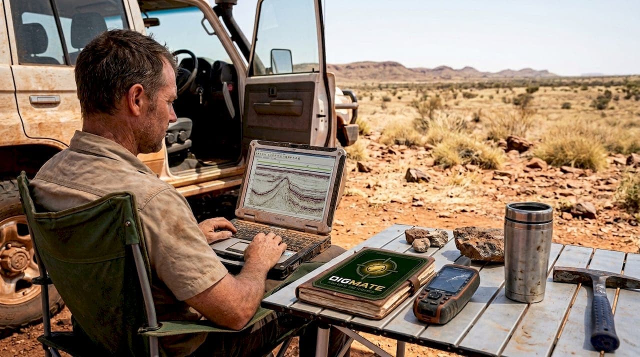
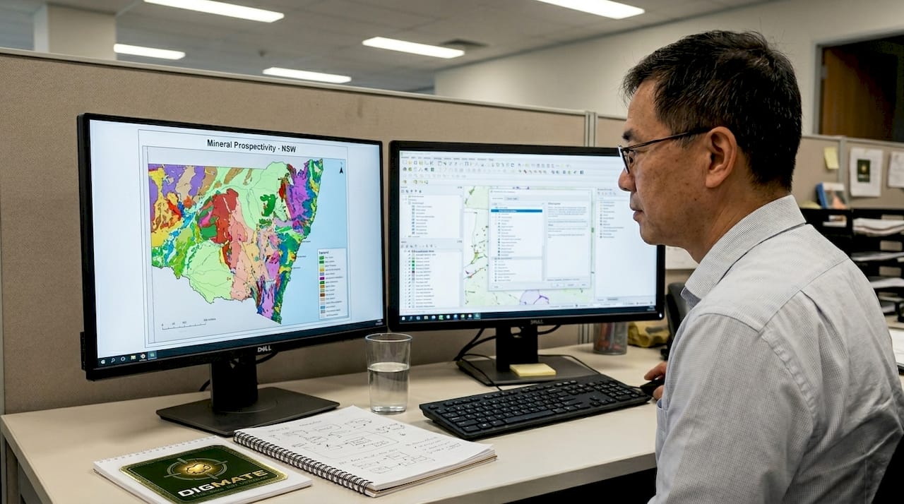
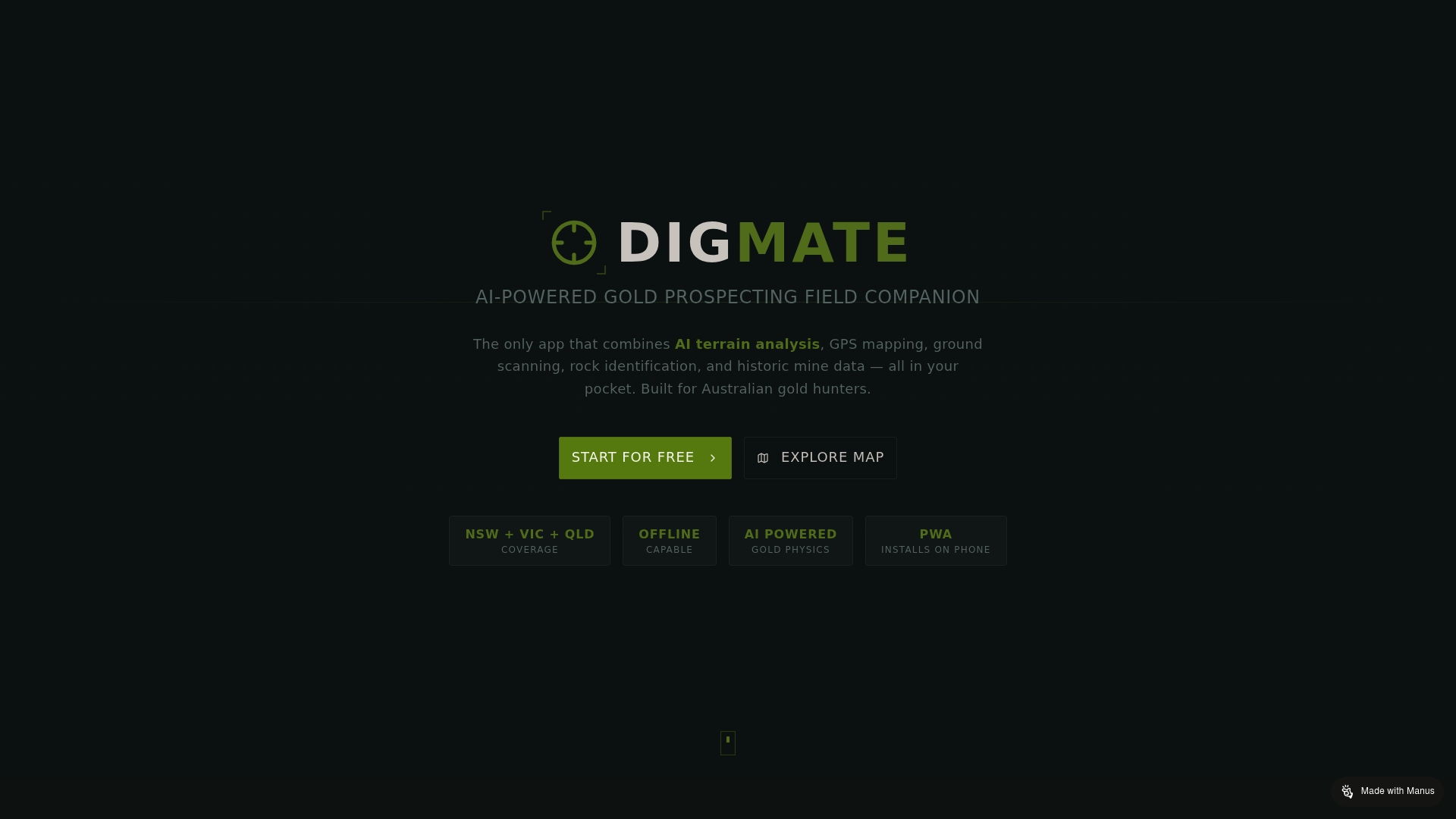
Accelerate your mineral exploration with DIGMATE
If you're ready to try these approaches, there's a local solution built for you. DIGMATE is designed specifically for prospectors and mining professionals working across New South Wales and Victoria, combining AI-driven mineral detection with geospatial mapping tools built for Australian terrain.
The DIGMATE mapping platform brings together the kind of data integration, location intelligence, and AI-powered analysis that makes the difference between a productive field program and an expensive guess. Whether you're planning your first tenement survey or scaling up a regional exploration program, DIGMATE gives you the tools to work faster, smarter, and with greater confidence in every target you choose to drill.
Frequently asked questions
What is ambient noise tomography and how does it help mineral exploration?
Ambient noise tomography analyzes natural ground vibrations to build 3D subsurface images, making mineral detection dramatically faster and less disruptive than conventional seismic surveys. It removes the need for explosives or heavy equipment, which matters a lot for land access in sensitive Australian environments.
How does hyperspectral satellite mapping work in mineral discovery?
It captures up to 285 spectral bands of reflected light to identify mineral classes across large regions from orbit, with data refreshed on a 28-day cycle. This makes it ideal for first-pass target generation over areas too large for efficient ground surveys.
Are AI-driven prospecting tools field-proven in Australia?
Yes. Tools like ExoSphere and CSIRO's mapping platform have demonstrated real results in NSW and Victoria, with Legacy Minerals and Australian juniors deploying them to validate new targets and reduce exploration timelines.
What should I consider before adopting a new prospecting platform?
Prioritize environmental compliance, compatibility with local terrain, and ask for recent field results from Australian projects before committing. Regional validation and environmental impact are the two factors most likely to determine whether a platform actually works for your program.