TL;DR:
- Modern AI tools significantly improve mineral prospecting efficiency and accuracy.
- Proper permits, land access, and systematic data validation are essential for successful exploration.
- Combining traditional methods with AI-driven geospatial analysis reduces time and increases discovery chances.
Chasing a mineral lead that goes nowhere costs you time, money, and morale. Too many prospectors in New South Wales and Victoria spend entire seasons working sites that geologically had little chance of delivering results. The good news is that between tightened field techniques and a new generation of AI-powered detection tools, your odds can shift dramatically. This guide walks you through everything from legal permits to satellite-based subsurface imaging, so you can run smarter, lower-risk exploration campaigns whether you're an individual hobbyist or a professional exploration company.
Table of Contents
- Know the basics: Legal requirements and where to start
- Assemble your toolkit: Traditional and AI-powered detection tools
- Step-by-step guide: Detecting and verifying valuable minerals
- Troubleshooting: Avoiding common pitfalls and optimizing results
- A smarter future: Why AI doesn't replace, but elevates mineral detection
- Take mineral detection to the next level with DigMate
- Frequently asked questions
Key Takeaways
| Point | Details |
|---|---|
| Follow legal requirements | Always secure proper licenses and check land access before prospecting. |
| Combine traditional and AI tools | Using AI predictions with classic field methods maximizes your chances of discovery. |
| Verify before you commit | Double-check promising sites using multiple techniques to avoid costly errors. |
| Troubleshoot and adapt | Learn common mistakes to optimize sampling, reduce false positives, and make smarter decisions. |
Know the basics: Legal requirements and where to start
Before you ever swing a detector or dip a pan, you need to know what the law allows. Getting this wrong can mean fines, gear confiscation, or worse.
In Victoria, every prospector needs a Miner's Right before touching the ground. It costs just $26.10 and is valid for ten years. In New South Wales, the rules differ, and best practices for prospecting in each state outline specific permit requirements by activity type. The key point: permits are not optional, and ignorance is not a defense.
Land access rules vary sharply depending on where you want to work:
- Crown land and state forests: Generally open to hand-tool prospecting with a valid permit
- Private land: Written permission from the landowner is required before any entry
- National parks: Prospecting is prohibited in virtually all cases
- Waterways and rivers: Special restrictions apply; machinery is almost always banned
- Heritage and Aboriginal sites: Strict legal protections make these off-limits entirely
For beginners, the best starting point is state forest land with documented historical workings. These areas have already proven geology and are typically low-restriction. Use GeoVic, Victoria's free geological mapping platform, to identify historical diggings, alluvial corridors, and known mineralization zones before you invest a single day in the field. NSW has equivalent resources through the Geological Survey of NSW.
| Land type | Permit required | Hand tools | Machinery | Notes |
|---|---|---|---|---|
| Crown land | Yes | Allowed | Often banned | Check local bylaws |
| State forest | Yes | Allowed | Restricted | Best for beginners |
| Private land | Owner permission | Case by case | Case by case | Get written consent |
| National parks | Not applicable | Prohibited | Prohibited | Absolute ban |
| Waterways | Yes | Restricted | Banned | Special rules apply |
For mineral exploration tips that cover both states in detail, reviewing current regulatory guides before each season is essential, since rules do get updated.
Pro Tip: Set a calendar reminder 60 days before your permit or Miner's Right expires. Lapsed permits on active sites are one of the most common and most avoidable reasons prospectors get fined.
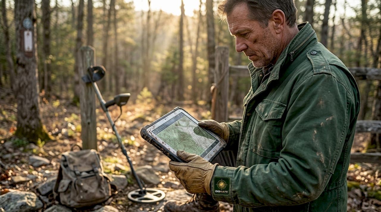
Assemble your toolkit: Traditional and AI-powered detection tools
With your permissions sorted and target areas mapped, it is time to build the toolkit that matches your goals, budget, and site conditions.
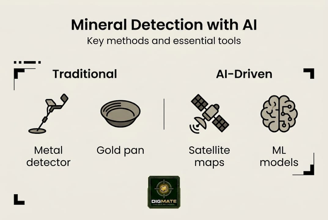
Traditional tools still earn their place in the field:
- Gold pans and sluice boxes for alluvial work in creek beds and flats
- VLF or PI metal detectors for shallow nugget hunting (effective to around 1 meter in optimal conditions)
- Rock hammers, chisels, and hand lenses for in-field geological assessment
- Sampling bags and field notebooks for systematic data recording
For using metal detectors effectively, soil mineralization type and ground balance settings matter as much as the detector model itself.
On the AI and geospatial side, the options have expanded fast. AI prospecting tools now include platforms that analyze satellite imagery, subsurface wave data, and historical geological datasets simultaneously. Two standouts in 2026 are ExoSphere's Ambient Noise Tomography (ANT) system and convolutional neural network (CNN) alteration mapping.
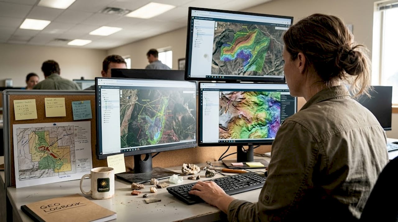
ANT works by deploying satellite-based sensors called Geodes to capture natural seismic noise, then processing it into 3D subsurface images. The results are fast, low-impact subsurface scans that reach depths conventional geophysics struggles to match efficiently. CNN models, when trained on ASTER and Landsat satellite data, outperform classic ML for alteration mapping of iron oxide, argillic, and propylitic zones, which are exactly the geological signatures associated with gold and base metal deposits in NSW and Victoria.
| Tool | Best use case | Typical cost | Depth or area coverage |
|---|---|---|---|
| Gold pan | Alluvial sampling | Under $50 | Surface only |
| VLF detector | Shallow nugget detection | $300 to $2,000 | 0 to 1 meter |
| PI detector | Mineralized ground | $1,500 to $6,000 | 0 to 1.5 meters |
| CNN mapping (satellite) | Alteration zone mapping | Variable (software/service) | Regional scale |
| ExoSphere ANT | Deep 3D subsurface imaging | Project-based pricing | Up to 2.5 km depth |
Pro Tip: Start with satellite CNN alteration maps to narrow your target zone, then deploy a metal detector on-site to confirm surface signals. This layered approach using prospecting efficiency with AI reduces wasted days in the field by a significant margin.
Step-by-step guide: Detecting and verifying valuable minerals
Having the right tools is half the battle. Knowing how to use them in sequence is what separates productive prospectors from those who just get exercise.
Follow this workflow for each new site:
- Pre-field data research: Pull GeoVic or NSW Geological Survey records, overlay AI prediction maps, and identify zones where geology, historical success, and anomaly signals align.
- Satellite and AI layer review: Check CNN-based alteration maps for iron oxide or clay mineral signatures. Flag areas where multiple anomalies overlap.
- On-site geological assessment: Walk the ground. Look at soil color, quartz veining, ironstone floats, and contact zones between rock types. These physical clues confirm whether AI predictions match reality.
- Detector and panning sweep: Run your metal detector over priority zones identified in step 3. Pan creek material downstream of anomalies to catch alluvial indicators.
- Sample collection: Collect representative samples across the site, not just from one promising spot. The gold nugget effect (where nuggets are unevenly distributed) means a single sample can mislead you significantly.
- Data integration and verification: Compare field findings against your AI and geological predictions. Where they align, prioritize. Where they conflict, investigate why before drawing conclusions.
For prospecting site selection using structured data, building a simple spreadsheet to log site conditions, tool readings, and sample results will pay off quickly across multiple field days.
When it comes to deep targets, 3D subsurface imaging to 2.5 km depth is now achievable in days with ExoSphere's platform, at around one-third of the cost of conventional seismic surveys. Compare that to traditional geophysics, which is reliable but slow and expensive, and the shift in economics becomes obvious.
Regolith cover, which is weathered rock and soil layered over bedrock, is a persistent challenge in Victoria and parts of NSW. AI tools like LandScape+ and ExoSphere effectively model hidden geology where basic detectors lose signal entirely.
"Verification is not the exciting part of prospecting, but it is the profitable part. Teams that rush to claim before verifying field signals routinely spend more and find less than those who take the extra day to confirm their data."
Pro Tip: Use AI geospatial tools for efficiency to pre-rank your site list before field season. Eliminating even two low-probability sites per season can save weeks of fieldwork.
Troubleshooting: Avoiding common pitfalls and optimizing results
Even experienced teams fall into patterns that cost them results. Knowing where the common traps are means you can route around them.
The most frequent mistakes prospectors make:
- Relying on a single detection method and treating its output as definitive
- Skipping the verification step when initial signals look promising
- Ignoring permit renewals and assuming last season's paperwork still covers current activity
- Sampling only the most visually interesting spots rather than systematically across the site
- Failing to account for local geology when interpreting detector responses
- Writing off a site after one field day without adjusting approach or coverage
On the data science side, RF, XGBoost, and LightGBM are the most effective machine learning models for prospectivity assessment when you are working with sparse training data, which is common in regional exploration. These benchmarks matter if you are working with a geologist or data team to build site-ranking models.
Sampling error from the nugget effect is a real and significant problem. One sample from a site can show excellent gold values while the next sample ten meters away shows nothing. Sampling bias and incomplete surface coverage are among the most common causes of missed discoveries, and AI mapping is far better at handling regolith-covered terrain than human field judgment alone.
The fix is systematic coverage. Grid your site, collect samples at regular intervals, and only synthesize conclusions after covering the full target area. This applies equally to detector sweeps and surface sampling.
For deeper reading on avoiding field errors, the exploration tips section of the Digmate blog breaks down common region-specific mistakes in both NSW and Victoria.
Pro Tip: Before writing off a site, revisit it with a different tool or method. A metal detector pass might miss what a panning run in the drainage below catches. Test a site at least twice with different approaches before moving on.
A smarter future: Why AI doesn't replace, but elevates mineral detection
Here is the perspective most articles skip: AI is not a shortcut. It is a force multiplier, and force multipliers only work when the underlying effort is solid.
Every experienced prospector or exploration company that gets consistent results combines data-driven AI prediction with direct fieldwork. AI is faster but still requires ground validation. Traditional geophysics is thorough but slow. The winning formula is using AI to eliminate low-probability targets quickly, then concentrating your field resources on the high-confidence zones that remain.
The teams that struggle are the ones that treat an AI map as a treasure map. They show up, dig in the highlighted zone, find nothing on day one, and conclude the technology failed. What actually failed was the process. AI prediction narrows the search area. Field verification confirms or refutes within that area. Neither replaces the other.
For boosting efficiency with AI, the real opportunity in 2026 is running smarter campaigns: fewer sites, better chosen, more thoroughly worked. That produces better outcomes and lower environmental impact than the old scatter-and-hope approach.
Take mineral detection to the next level with DigMate
Putting all of this into practice requires tools that actually connect AI prediction with practical field planning, and that is exactly what Digmate was built to do.
Digmate integrates AI-powered prospecting data, geospatial mapping, and mineral detection resources specifically built for NSW and Victoria. Whether you want to access the free gold map to identify high-potential zones before committing to a field day, or explore the full DigMate AI features to run data-driven site assessments, the platform is designed to match how real prospectors work. Start with the free tools, learn the lay of the land, and scale up your approach from there.
Frequently asked questions
What permits do I need to prospect for valuable minerals in NSW or Victoria?
In Victoria, a Miner's Right is required for all prospecting activity, hand tools are generally permitted, and national parks are off-limits. NSW has separate regulations with its own permit system.
How does AI speed up mineral detection compared to traditional methods?
Platforms like ExoSphere deliver results up to 100x faster than legacy geophysical approaches and at around one-third the cost, making regional-scale subsurface analysis practical for smaller teams.
What's the best way for hobbyists to pick a prospecting spot?
Start with GeoVic to find historical diggings in your region, confirm land access rules, then layer in AI prediction maps or a metal detector sweep to verify surface signals before committing a full day.
Do AI predictions work under dense regolith cover?
Yes. AI excels where regolith cover conceals mineralization from surface detection, with tools like LandScape+ and ExoSphere modeling hidden geology that traditional detectors cannot reach.